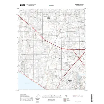
2018 Map of Newport Beach
USGS Topo · Published 2018About this map
The Pacific Ocean coastline anchors this detailed 2018 survey of coastal Orange County, where the Santa Ana River Trail & Parkway serves as a central artery through a densely developed landscape. The map captures the sophisticated water management systems required for this urban corridor, featuring the E Garden Grove Wintersburg Channel, Paularino Channel, and Talbert Channel. These engineered waterways define the boundaries between established communities like Fountain Valley and Costa Mesa.
Find a feature on this map
49 named features on this map. Tap any name to fly to it.
Don’t see what you’re looking for? This feature index may not catch every label — zoom into the map to look around manually.
Map Details
Editions of this 2018 Newport Beach Map
This is the sole edition of this map. No revisions or reprints were ever made.
Other maps of this area

1896 · Santa Ana
USGS Topo · 1:62,500

1896 · Anaheim
USGS Topo · 1:62,500

1896 · Las Bolsas
USGS Topo · 1:62,500

1896 · Downey
USGS Topo · 1:62,500

1898 · Anaheim
USGS Topo · 1:62,500

1899 · Downey
USGS Topo · 1:62,500

1901 · Southern California Sheet No. 1
USGS Topo · 1:250,000

1901 · Santa Ana
USGS Topo · 1:62,500

1901 · Anaheim
USGS Topo · 1:62,500

1902 · Downey
USGS Topo · 1:62,500