2022 Map of Newport Beach
USGS Topo · Published 2022About this map
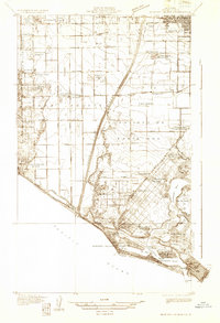
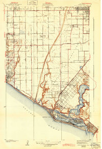
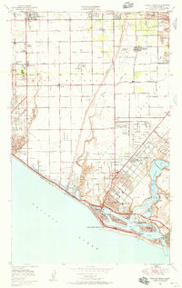
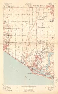
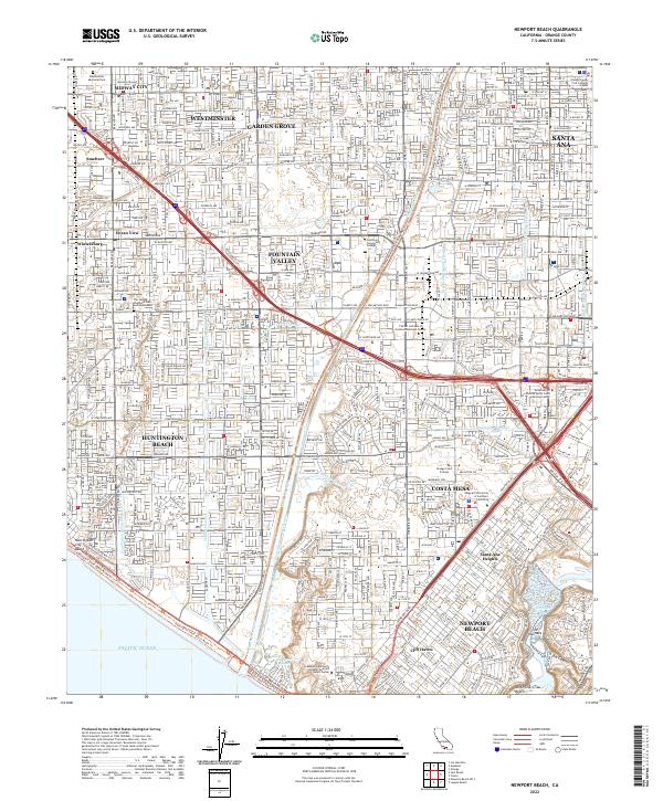
Huntington Beach and Newport Beach anchor the coastline of this modern Orange County survey, where the urban grid meets the Pacific shore. The landscape is defined by an intricate network of drainage and flood control channels, including the Greenville Banning Channel, Talbert Channel, and the Santa Ana River. Inland, the map reveals the dense residential and educational fabric of Costa Mesa and Fountain Valley, notable for a high concentration of academic institutions such as Orange Coast College and Vanguard University of Southern California.
Find a feature on this map
50 named features on this map. Tap any name to fly to it.
Don’t see what you’re looking for? This feature index may not catch every label — zoom into the map to look around manually.
Map Details
Editions of this 2022 Newport Beach Map
This is the sole edition of this map. No revisions or reprints were ever made.
Historical Maps of Valley Adams Through Time
6 maps found