Loading...
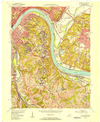
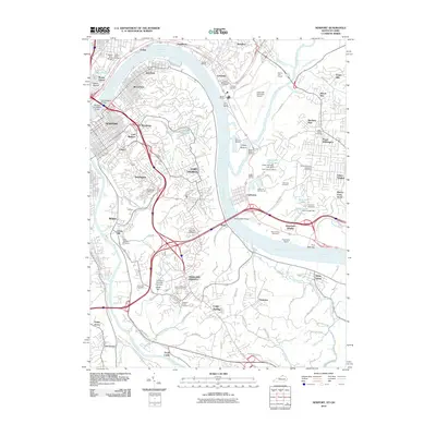
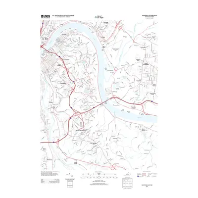
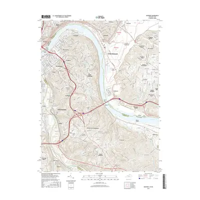
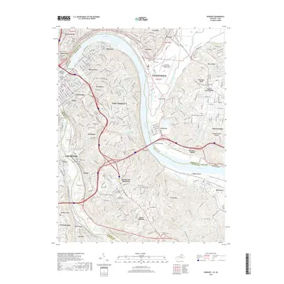
Loading map...1955 Map of Newport
USGS Topo · Published 1957About this map
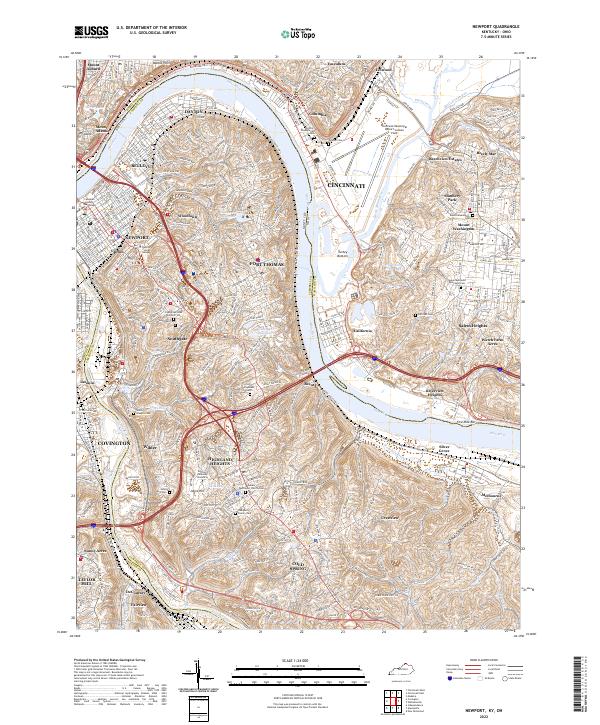
The Ohio River and Licking River converge at the heart of this mid-century survey, anchoring a landscape where the urban density of Newport and Cincinnati gives way to the burgeoning hillcrest communities of Northern Kentucky. The 1955 revision reveals a dense concentration of civic and religious institutions, from the U S Reservation (VA Hospital) in Fort Thomas to the sprawling grounds of Evergreen Cemetery and St Joseph Orphanage Cem.
Find a feature on this map
105 named features on this map. Tap any name to fly to it.
Don’t see what you’re looking for? This feature index may not catch every label — zoom into the map to look around manually.
Map Details
Date Portrayed1955
Date Published1957
PublisherU.S. Geological Survey
Map TypeTopographic
Scale1:24,000
Physical Dimensions22.5 x 27.4 inches
Editions of this 1955 Newport Map
This is the sole edition of this map. No revisions or reprints were ever made.
Historical Maps of Cincinnati Through Time
9 maps found
Featured Locations
Source Details
SourceU.S. Geological Survey
CopyrightPublic Domain