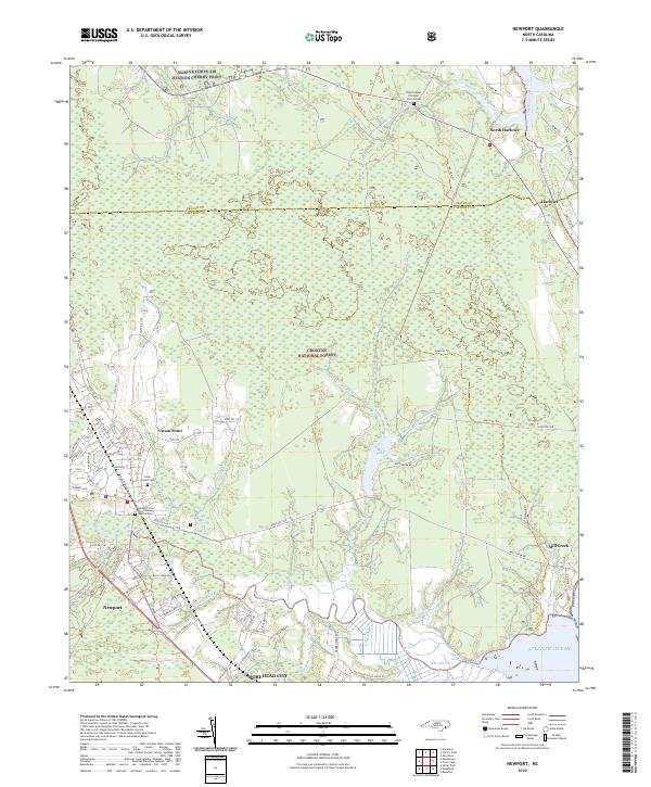
2022 Map of Newport
USGS Topo · Published 2022About this map
The Croatan National Forest dominates the landscape of this coastal North Carolina region, where the boundary between Craven Co and Carteret Co cuts through dense wetlands and maritime forest. In the northern reaches, the Marine Corps Air Station Cherry Point occupies a massive footprint along the tributaries of the Neuse River. The map reveals a complex hydrography defined by the Newport River and the Harlowe Canal, a historic waterway connecting local creeks to the Atlantic Ocean.
Find a feature on this map
82 named features on this map. Tap any name to fly to it.
Don’t see what you’re looking for? This feature index may not catch every label — zoom into the map to look around manually.
Map Details
Editions of this 2022 Newport Map
This is the sole edition of this map. No revisions or reprints were ever made.
Other maps of this area

1949 · Havelock
USGS Topo · 1:24,000

1949 · Beaufort
USGS Topo · 1:24,000

1949 · Merrimon
USGS Topo · 1:24,000

1949 · Newport
USGS Topo · 1:24,000

1949 · Salter Path
USGS Topo · 1:24,000

1949 · Mansfield
USGS Topo · 1:24,000

1949 · Cherry Point
USGS Topo · 1:24,000

1949 · Core Creek
USGS Topo · 1:24,000

1949 · Masontown
USGS Topo · 1:24,000

1951 · Salter Path
USGS Topo · 1:24,000