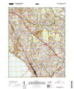
2019 Map of Newport News North
USGS Topo · Published 2019About this map
New Bethel Baptist Church and its accompanying New Bethel Baptist Church Cem anchor the northern landscape of this Virginia Peninsula survey, where suburban expansion meets legacy landmarks. The tidal reaches of Brick Kiln Creek and Newmarket Cr wind through established communities such as Tabb, Harpersville, and Poquoson. The map documents a dense educational and military corridor, featuring the sprawling Langley Air Force Base alongside campuses for Christopher Newport University and the Thomas Nelson Community College Hampton Campus. Genealogists will find significant value in the distribution of burial grounds, from the large Peninsula Memorial Park to more localized sites like Ebenezer Cem and Carys Cem. In the south, the industrial and residential grid of Newport News and Hampton meets the James River at Huntington and Wythe, showing the modern footprint of these foundational Virginia cities.
Find a feature on this map
420 named features on this map. Tap any name to fly to it.
Don’t see what you’re looking for? This feature index may not catch every label — zoom into the map to look around manually.
Map Details
Editions of this 2019 Newport News North Map
This is the sole edition of this map. No revisions or reprints were ever made.
Other maps of this area

1907 · Norfolk
USGS Topo · 1:125,000

1907 · Yorktown
USGS Topo · 1:62,500

1907 · Hampton
USGS Topo · 1:62,500

1919 · Smithfield
USGS Topo · 1:62,500

1921 · Newport News
USGS Topo · 1:62,500

1943 · Yorktown
USGS Topo · 1:62,500

1943 · Richmond
USGS Topo · 1:250,000

1944 · Hampton
USGS Topo · 1:24,000

1944 · Yorktown
USGS Topo · 1:24,000

1944 · Messick
USGS Topo · 1:24,000