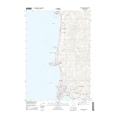
2014 Map of Newport North
USGS Topo · Published 2014About this map
Yaquina Head stands as a prominent landmark on this coastal survey, anchoring a landscape where the Pacific Ocean meets the complex geology of the Oregon shore. The northern reaches of Newport are shown in significant detail, illustrating the development of neighborhoods like Nye Beach and Newport Heights alongside established institutions such as the Oregon Coast Community College. The map captures the rugged coastal fringe north to Otter Rock, where the famous Devils Punchbowl Arch and the surrounding marine gardens define the shoreline.
Find a feature on this map
106 named features on this map. Tap any name to fly to it.
Don’t see what you’re looking for? This feature index may not catch every label — zoom into the map to look around manually.
Map Details
Editions of this 2014 Newport North Map
This is the sole edition of this map. No revisions or reprints were ever made.
Other maps of this area

1941 · Cape Foulweather
USGS Topo · 1:62,500

1942 · Euchre Mtn
USGS Topo · 1:62,500

1942 · Yaquina
USGS Topo · 1:62,500

1942 · Toledo
USGS Topo · 1:62,500

1943 · Euchre Mtn
USGS Topo · 1:62,500

1944 · Cape Foulweather
USGS Topo · 1:62,500

1953 · Salem
USGS Topo · 1:250,000

1954 · Salem
USGS Topo · 1:250,000

1957 · Cape Foulweather
USGS Topo · 1:62,500

1957 · Yaquina
USGS Topo · 1:62,500