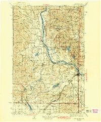
1942 Map of Newport
USGS Topo · Published 1942About this map
The Pend Oreille River flows north through a landscape defined by timber and rail transit during the early 1940s. Centered on the town of Newport, this area is a critical junction for the Great Northern and Spokane International railroads, which parallel the riverbanks alongside the Pacific Highway. The survey captures the transition from the river lowlands to the high peaks of the Kaniksu National Forest, where labels like Gibraltar Rock and South Baldy look out over a complex system of mountain lakes, including Bead Lake and Marshall Lake.
Find a feature on this map
128 named features on this map. Tap any name to fly to it.
Don’t see what you’re looking for? This feature index may not catch every label — zoom into the map to look around manually.
Map Details
Editions of this 1942 Newport Map
3 editions found

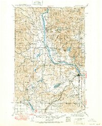
Other maps of this area

1901 · Sandpoint
USGS Topo · 1:125,000

1901 · Spokane
USGS Topo · 1:125,000

1903 · Rathdrum
USGS Topo · 1:125,000

1911 · Priest Lake
USGS Topo · 1:250,000

1911 · Sandpoint
USGS Topo · 1:125,000

1913 · Priest Lake
USGS Topo · 1:250,000

1927 · Chewelah
USGS Topo · 1:125,000

1929 · Colville
USGS Topo · 1:125,000

1930 · Chewelah
USGS Topo · 1:125,000

1933 · Colville
USGS Topo · 1:125,000