
1942 Map of Newport
USGS Topo · Published 1942About this map
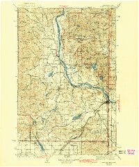
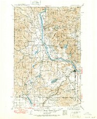
The Pend Oreille River carves a deep valley through the northern Panhandle and Northeast Washington, serving as the central artery for transportation and settlement in the early 1940s. Along its banks, the Chicago Milwaukee St Paul and Pacific railroad connects riverside communities such as Cusick, Usk, and Dalkena. To the east, the Washington-Idaho state line cuts through the high country of the Kaniksu National Forest, where isolated outposts like Pulke Ranger Sta and Boswell Ranger Sta managed the vast timberlands.
Find a feature on this map
104 named features on this map. Tap any name to fly to it.
Don’t see what you’re looking for? This feature index may not catch every label — zoom into the map to look around manually.
Map Details
Editions of this 1942 Newport Map
3 editions found
Other maps of this area

1901 · Sandpoint
USGS Topo · 1:125,000

1901 · Spokane
USGS Topo · 1:125,000

1903 · Rathdrum
USGS Topo · 1:125,000

1911 · Priest Lake
USGS Topo · 1:250,000

1911 · Sandpoint
USGS Topo · 1:125,000

1913 · Priest Lake
USGS Topo · 1:250,000

1927 · Chewelah
USGS Topo · 1:125,000

1929 · Colville
USGS Topo · 1:125,000

1930 · Chewelah
USGS Topo · 1:125,000

1933 · Colville
USGS Topo · 1:125,000