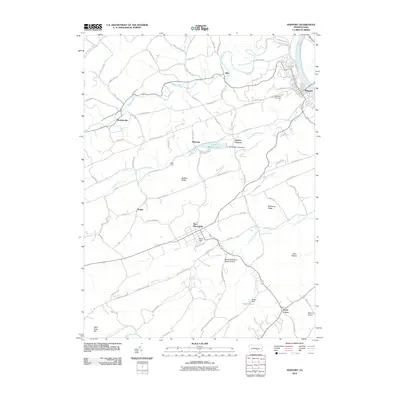
2010 Map of Newport
USGS Topo · Published 2010About this map
Newport sits at the confluence of Buffalo Creek and the Juniata River, serving as a focal point for the ridges and valleys of Perry County. The landscape is defined by the prominent Buffalo Ridge and Mahanoy Ridge, which funnel local travel toward established settlements like New Bloomfield and Markelsville. This 2010 survey highlights the region's industrial and natural heritage, showing the site of Juniata Furnace near the waters of Little Buffalo Lake.
Find a feature on this map
83 named features on this map. Tap any name to fly to it.
Don’t see what you’re looking for? This feature index may not catch every label — zoom into the map to look around manually.
Map Details
Editions of this 2010 Newport Map
This is the sole edition of this map. No revisions or reprints were ever made.
Other maps of this area

1907 · New Bloomfield
USGS Topo · 1:62,500

1907 · Millerstown
USGS Topo · 1:62,500

1925 · Mifflintown
USGS Topo · 1:48,000

1930 · Loysville
USGS Topo · 1:62,500

1933 · Loysville
USGS Topo · 1:62,500

1934 · Mifflintown
USGS Topo · 1:62,500

1937 · Mifflintown
USGS Topo · 1:62,500

1943 · Millerstown
USGS Topo · 1:62,500

1943 · New Bloomfield
USGS Topo · 1:62,500

1950 · Harrisburg
USGS Topo · 1:250,000