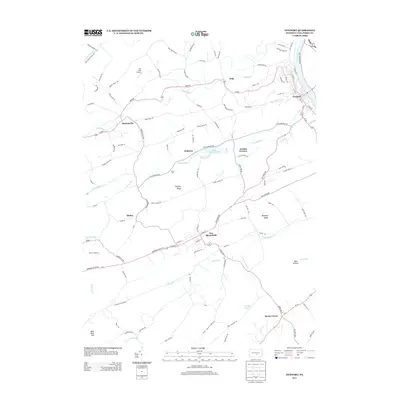
2013 Map of Newport
USGS Topo · Published 2013About this map
New Bloomfield and Newport anchor this study of Perry County's central valleys during the early 21st century. The landscape is defined by the parallel ridges of Buffalo Ridge and Mahanoy Ridge, which funnel the local drainage of Buffalo Cr and Little Buffalo Cr toward the eastern boundary. The industrial history of the region is quietly marked by Juniata Furnace, while the modern rural infrastructure includes aviation sites like Fox Field Airport and Kitner Airport.
Find a feature on this map
113 named features on this map. Tap any name to fly to it.
Don’t see what you’re looking for? This feature index may not catch every label — zoom into the map to look around manually.
Map Details
Editions of this 2013 Newport Map
This is the sole edition of this map. No revisions or reprints were ever made.
Other maps of this area

1907 · New Bloomfield
USGS Topo · 1:62,500

1907 · Millerstown
USGS Topo · 1:62,500

1925 · Mifflintown
USGS Topo · 1:48,000

1930 · Loysville
USGS Topo · 1:62,500

1933 · Loysville
USGS Topo · 1:62,500

1934 · Mifflintown
USGS Topo · 1:62,500

1937 · Mifflintown
USGS Topo · 1:62,500

1943 · Millerstown
USGS Topo · 1:62,500

1943 · New Bloomfield
USGS Topo · 1:62,500

1950 · Harrisburg
USGS Topo · 1:250,000