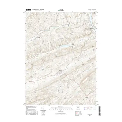
2016 Map of Newport
USGS Topo · Published 2016About this map
New Bloomfield and the adjacent borough of Bloomfield anchor the southern portion of this landscape, where the topography is defined by a series of prominent ridgelines including Limestone Ridge and Buffalo Ridge. To the northeast, the town of Newport sits along the banks of the Juniata River, a historical corridor for transport and industry in Perry County. The presence of Juniata Furnace near Little Buffalo Lake points to the area's iron-working heritage, while smaller hamlets like Markelsville, Wila, and Meeks Corner are connected by a network of rural routes such as Shermans Valley Rd. From the high point of Wolf Rock Hill to the banks of Trout Run, this survey documents the persistent rural character and the geographical layout of settlements that have defined this valley for generations.
Find a feature on this map
110 named features on this map. Tap any name to fly to it.
Don’t see what you’re looking for? This feature index may not catch every label — zoom into the map to look around manually.
Map Details
Editions of this 2016 Newport Map
This is the sole edition of this map. No revisions or reprints were ever made.
Other maps of this area

1907 · New Bloomfield
USGS Topo · 1:62,500

1907 · Millerstown
USGS Topo · 1:62,500

1925 · Mifflintown
USGS Topo · 1:48,000

1930 · Loysville
USGS Topo · 1:62,500

1933 · Loysville
USGS Topo · 1:62,500

1934 · Mifflintown
USGS Topo · 1:62,500

1937 · Mifflintown
USGS Topo · 1:62,500

1943 · Millerstown
USGS Topo · 1:62,500

1943 · New Bloomfield
USGS Topo · 1:62,500

1950 · Harrisburg
USGS Topo · 1:250,000