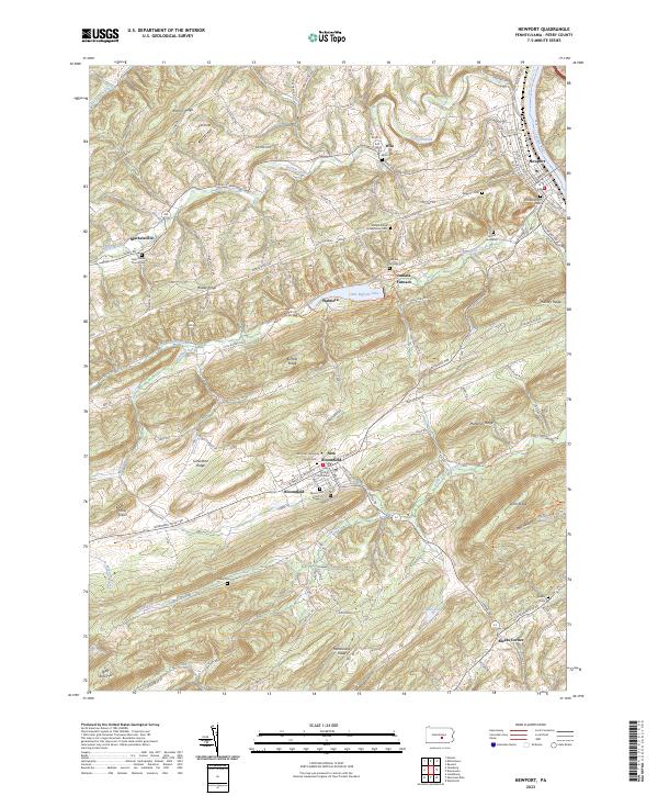
2023 Map of Newport
USGS Topo · Published 2023About this map
The Perry County Courthouse serves as a central anchor for this part of the Pennsylvania landscape, situated in the heart of New Bloomfield. The map documents a territory defined by the winding course of the Juniata River and the parallel ridges that characterize the regional topography, including Mahanoy Ridge and Dicks Ridge. Near Little Buffalo Lake, the legacy of local industry is preserved in the naming of Juniata Furnace, while the complex network of rural life is visible through numerous family and community burial grounds such as Fluries Graveyard and Snyders Cem.
Find a feature on this map
51 named features on this map. Tap any name to fly to it.
Don’t see what you’re looking for? This feature index may not catch every label — zoom into the map to look around manually.
Map Details
Editions of this 2023 Newport Map
This is the sole edition of this map. No revisions or reprints were ever made.
Other maps of this area

1907 · New Bloomfield
USGS Topo · 1:62,500

1907 · Millerstown
USGS Topo · 1:62,500

1925 · Mifflintown
USGS Topo · 1:48,000

1930 · Loysville
USGS Topo · 1:62,500

1933 · Loysville
USGS Topo · 1:62,500

1934 · Mifflintown
USGS Topo · 1:62,500

1937 · Mifflintown
USGS Topo · 1:62,500

1943 · Millerstown
USGS Topo · 1:62,500

1943 · New Bloomfield
USGS Topo · 1:62,500

1950 · Harrisburg
USGS Topo · 1:250,000