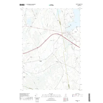
2018 Map of Newport
USGS Topo · Published 2018About this map
Sebasticook Lake and the East Branch Sebasticook River define the landscape of this region on the Somerset and Penobscot county line. The hub of Newport sits at the lake's eastern edge, where the waterway narrows and flows southward. The surrounding terrain is a network of bogs and brooks, including Robbers Bog and Big Meadow Bog, which have influenced the layout of local roads and smaller settlements like Palmyra, Detroit, and the uniquely named Dogtown.
Find a feature on this map
76 named features on this map. Tap any name to fly to it.
Don’t see what you’re looking for? This feature index may not catch every label — zoom into the map to look around manually.
Map Details
Editions of this 2018 Newport Map
This is the sole edition of this map. No revisions or reprints were ever made.
Other maps of this area

1926 · Burnham
USGS Topo · 1:62,500

1930 · Pittsfield
USGS Topo · 1:48,000

1931 · Stetson
USGS Topo · 1:48,000

1932 · Brooks
USGS Topo · 1:62,500

1932 · Pittsfield
USGS Topo · 1:62,500

1933 · Pittsfield
USGS Topo · 1:62,500

1935 · Stetson
USGS Topo · 1:62,500

1948 · Bangor
USGS Topo · 1:250,000

1955 · Pittsfield
USGS Topo · 1:62,500

1955 · Brooks
USGS Topo · 1:62,500