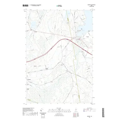
2021 Map of Newport
USGS Topo · Published 2021About this map
Sebasticook Lake dominates the eastern landscape of this Somerset County region, serving as a focal point for the surrounding towns of Newport and Palmyra. The terrain is defined by low-lying wetland complexes like Robbers Bog and Big Meadow Bog, which feed into the meandering course of the East Branch Sebasticook River. These water systems historically influenced the settlement patterns seen at Detroit and Pittsfield, where the town centers developed along the riverbanks and rail-adjacent corridors.
Find a feature on this map
87 named features on this map. Tap any name to fly to it.
Don’t see what you’re looking for? This feature index may not catch every label — zoom into the map to look around manually.
Map Details
Editions of this 2021 Newport Map
This is the sole edition of this map. No revisions or reprints were ever made.
Other maps of this area

1926 · Burnham
USGS Topo · 1:62,500

1930 · Pittsfield
USGS Topo · 1:48,000

1931 · Stetson
USGS Topo · 1:48,000

1932 · Brooks
USGS Topo · 1:62,500

1932 · Pittsfield
USGS Topo · 1:62,500

1933 · Pittsfield
USGS Topo · 1:62,500

1935 · Stetson
USGS Topo · 1:62,500

1948 · Bangor
USGS Topo · 1:250,000

1955 · Pittsfield
USGS Topo · 1:62,500

1955 · Brooks
USGS Topo · 1:62,500