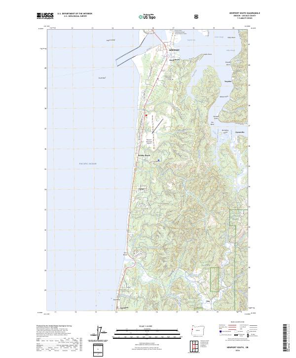
2024 Map of Newport South
USGS Topo · Published 2024About this map
The coastal landscape south of Newport is defined by the meeting of the Pacific Ocean and the intricate fingers of Yaquina Bay. This modern survey illustrates the proximity of residential growth and academic research, notably the Oregon State University Hatfield Marine Science Center situated on the bay's southern edge near South Beach. The terrain transitions from the offshore hazards of Yaquina Reef and South Reef to the wooded tracts of the Siuslaw National Forest further inland. Moving south along the shoreline, small communities like Holiday Beach, Forfar, and Seal Rock follow the coastal highway corridor. The eastern portion of the map is dominated by a network of tidal sloughs and creeks, including McCaffery Slough and Poole Slough, which drain the lush valleys near the historic locations of Oysterville and Yaquina.
Find a feature on this map
81 named features on this map. Tap any name to fly to it.
Don’t see what you’re looking for? This feature index may not catch every label — zoom into the map to look around manually.
Map Details
Editions of this 2024 Newport South Map
This is the sole edition of this map. No revisions or reprints were ever made.
Other maps of this area

1922 · Waldport
USGS Topo · 1:62,500

1942 · Waldport
USGS Topo · 1:62,500

1942 · Yaquina
USGS Topo · 1:62,500

1942 · Tidewater
USGS Topo · 1:62,500

1942 · Toledo
USGS Topo · 1:62,500

1953 · Salem
USGS Topo · 1:250,000

1954 · Salem
USGS Topo · 1:250,000

1956 · Tidewater
USGS Topo · 1:62,500

1956 · Waldport
USGS Topo · 1:62,500

1957 · Yaquina
USGS Topo · 1:62,500