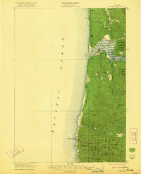
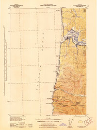
1956 Map of Waldport
USGS Topo · Published 1958About this map
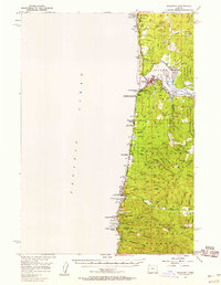
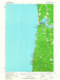
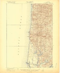
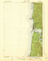
Waldport and the surrounding central Oregon coast appear in this survey as a network of small timber and fishing settlements during the mid-1950s. The town sits at the mouth of the Alsea River, where the wide Alsea Bay meets the Pacific Ocean. This period shows the coastal infrastructure anchored by Highway 101, which connects the shoreline communities of Seal Rock, San Marine, and Yachats. Inland, the landscape is defined by the steep, wooded drainages of the Siuslaw National Forest, where landmarks like Blodgett Peak and Yachats Mtn rise above winding river valleys.
Find a feature on this map
66 named features on this map. Tap any name to fly to it.
Don’t see what you’re looking for? This feature index may not catch every label — zoom into the map to look around manually.
Map Details
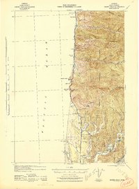
Editions of this 1956 Waldport Map
2 editions found
Other maps of this area
1918 · Mapleton
USGS Topo · 1:48,000
1920 · Heceta Head
USGS Topo · 1:62,500
1922 · Waldport
USGS Topo · 1:62,500
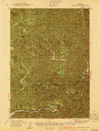
1940 · Mapleton
USGS Topo · 1:62,500
1942 · Waldport
USGS Topo · 1:62,500
1942 · Heceta Head
USGS Topo · 1:62,500
1942 · Yaquina
USGS Topo · 1:62,500
1942 · Tidewater
USGS Topo · 1:62,500
1942 · Toledo
USGS Topo · 1:62,500
1945 · Mapleton
USGS Topo · 1:62,500