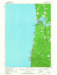
1956 Map of Waldport
USGS Topo · Published 1966About this map
The town of Waldport serves as the focal point of this 1950s survey, situated where the Alsea River meets the Pacific Ocean at Alsea Bay. The landscape is defined by the sharp transition from the coastal strand to the dense timber of the Siuslaw National Forest, which covers much of the eastern half of the map. Along the Coast Highway, smaller seaside settlements like Yachats, San Marine, and Seal Rock are visible, each positioned near dramatic geological features such as the Devils Churn and Cooks Chasm.
Find a feature on this map
66 named features on this map. Tap any name to fly to it.
Don’t see what you’re looking for? This feature index may not catch every label — zoom into the map to look around manually.
Map Details
Editions of this 1956 Waldport Map
2 editions found

Other maps of this area

1918 · Mapleton
USGS Topo · 1:48,000

1920 · Heceta Head
USGS Topo · 1:62,500

1922 · Waldport
USGS Topo · 1:62,500

1940 · Mapleton
USGS Topo · 1:62,500

1942 · Waldport
USGS Topo · 1:62,500

1942 · Heceta Head
USGS Topo · 1:62,500

1942 · Yaquina
USGS Topo · 1:62,500

1942 · Tidewater
USGS Topo · 1:62,500

1942 · Toledo
USGS Topo · 1:62,500

1945 · Mapleton
USGS Topo · 1:62,500