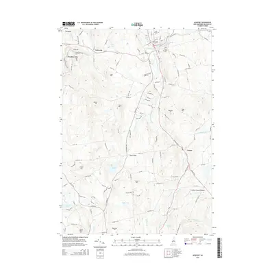
2015 Map of Newport
USGS Topo · Published 2015About this map
Newport serves as the central hub of this Sullivan County landscape, where the Sugar River meets its southern branch near several long-standing local landmarks. The town's historic footprint is marked by Saint Patricks Cem, Pine Street Cem, and Maple Street Cem, while the industrial legacy of the region is evident at the Gordon Woolen Mill Pond. To the west, the village of Kelleyville sits near the Pier Bridge, and Chandlers Mills occupies the valley beneath Mt Tug. The terrain is defined by a series of significant elevations including Wilcox Hill, Pikes Hill, and White Birch Hill. To the south, the settlement pattern shifts toward rural crossroads such as East Unity and Goshen Four Corners. Water features like Gilman Pond, Hurd Pond, and Crescent Lake dot the lower elevations, connected by a network of brooks such as Purmort Brook and Giles Brook that drain the surrounding highlands.
Find a feature on this map
129 named features on this map. Tap any name to fly to it.
Don’t see what you’re looking for? This feature index may not catch every label — zoom into the map to look around manually.
Map Details
Editions of this 2015 Newport Map
This is the sole edition of this map. No revisions or reprints were ever made.
Other maps of this area

1902 · Sunapee
USGS Topo · 1:62,500

1905 · Sunapee
USGS Topo · 1:62,500

1907 · Sunapee
USGS Topo · 1:62,500

1926 · Claremont
USGS Topo · 1:62,500

1927 · Bellows Falls
USGS Topo · 1:48,000

1929 · Claremont
USGS Topo · 1:62,500

1930 · Lovewell Mountain
USGS Topo · 1:62,500

1930 · Bellows Falls
USGS Topo · 1:62,500

1942 · Lovewell Mountain
USGS Topo · 1:62,500

1950 · Glens Falls
USGS Topo · 1:250,000