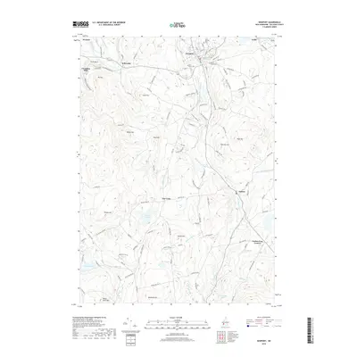
2018 Map of Newport
USGS Topo · Published 2018About this map
Newport serves as the primary hub in this Sullivan County landscape, where the Sugar River and its southern branch dictate the local geography. Several historic burial grounds, including Saint Patricks Cem, Pine Street Cem, and Maple Street Cem, are clustered near the town center, providing significant points of interest for genealogical research. The map tracks the rural character of the region through small settlements like Kelleyville and Chandlers Mills, as well as the transition into the southern highlands marked by Potato Hill and Beckwith Hill.
Find a feature on this map
113 named features on this map. Tap any name to fly to it.
Don’t see what you’re looking for? This feature index may not catch every label — zoom into the map to look around manually.
Map Details
Editions of this 2018 Newport Map
This is the sole edition of this map. No revisions or reprints were ever made.
Other maps of this area

1902 · Sunapee
USGS Topo · 1:62,500

1905 · Sunapee
USGS Topo · 1:62,500

1907 · Sunapee
USGS Topo · 1:62,500

1926 · Claremont
USGS Topo · 1:62,500

1927 · Bellows Falls
USGS Topo · 1:48,000

1929 · Claremont
USGS Topo · 1:62,500

1930 · Lovewell Mountain
USGS Topo · 1:62,500

1930 · Bellows Falls
USGS Topo · 1:62,500

1942 · Lovewell Mountain
USGS Topo · 1:62,500

1950 · Glens Falls
USGS Topo · 1:250,000