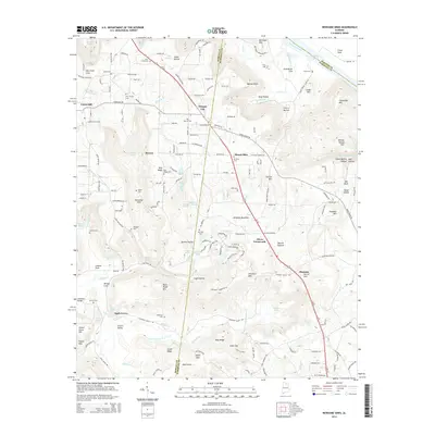
2014 Map of Newsome Sinks
USGS Topo · Published 2014About this map
Brindley Mountain anchors this landscape in the Tennessee River valley, where the rugged topography of northern Alabama gives way to a network of karst features and small agricultural settlements. The terrain is defined by its namesake Newsome Sinks and Norrell Sink, highlighting a unique limestone geography where water disappears into the subterranean environment. This hydrology is further reflected in numerous natural springs, including Greenhaw Spring and Blowing Spring, which once sustained local farmsteads.
Find a feature on this map
199 named features on this map. Tap any name to fly to it.
Don’t see what you’re looking for? This feature index may not catch every label — zoom into the map to look around manually.
Map Details
Editions of this 2014 Newsome Sinks Map
This is the sole edition of this map. No revisions or reprints were ever made.
Other maps of this area

1885 · Gadsden
USGS Topo · 1:125,000

1888 · Cullman
USGS Topo · 1:125,000

1888 · Gadsden
USGS Topo · 1:125,000

1888 · Scottsboro
USGS Topo · 1:125,000

1888 · Huntsville
USGS Topo · 1:125,000

1892 · Cullman
USGS Topo · 1:125,000

1892 · Huntsville
USGS Topo · 1:125,000

1892 · Scottsboro
USGS Topo · 1:125,000

1892 · Gadsden
USGS Topo · 1:125,000

1895 · Gadsden
USGS Topo · 1:125,000