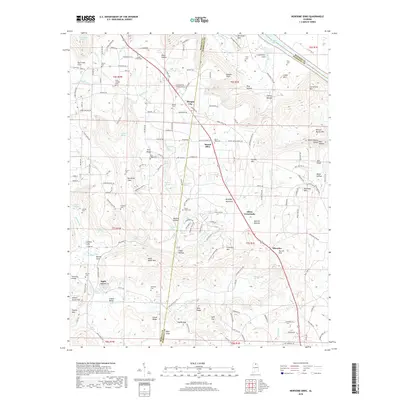
2018 Map of Newsome Sinks
USGS Topo · Published 2018About this map
Newsome Sinks defines the karst topography of this corner of the Cumberland Plateau, where internal drainage creates a complex system of depressions and subterranean flows. The area is characterized by high ridges like Brindley Mountain and Pritchett Mtn, which separate deep valleys such as Cotaco Valley and Winton Cove. Small crossroads communities and family settlements anchor the landscape, including Morgan City, Mount Olive, and Oleander.
Find a feature on this map
179 named features on this map. Tap any name to fly to it.
Don’t see what you’re looking for? This feature index may not catch every label — zoom into the map to look around manually.
Map Details
Editions of this 2018 Newsome Sinks Map
This is the sole edition of this map. No revisions or reprints were ever made.
Other maps of this area

1885 · Gadsden
USGS Topo · 1:125,000

1888 · Cullman
USGS Topo · 1:125,000

1888 · Gadsden
USGS Topo · 1:125,000

1888 · Scottsboro
USGS Topo · 1:125,000

1888 · Huntsville
USGS Topo · 1:125,000

1892 · Cullman
USGS Topo · 1:125,000

1892 · Huntsville
USGS Topo · 1:125,000

1892 · Scottsboro
USGS Topo · 1:125,000

1892 · Gadsden
USGS Topo · 1:125,000

1895 · Gadsden
USGS Topo · 1:125,000