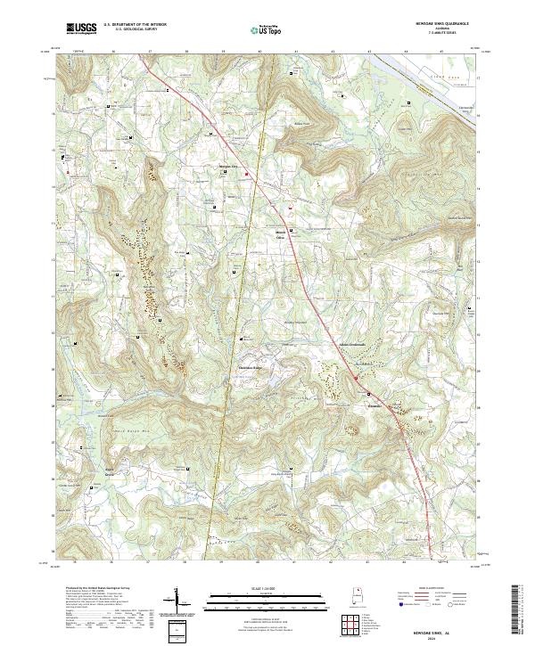
2024 Map of Newsome Sinks
USGS Topo · Published 2024About this map
Morgan City and Mount Olive anchor this upland Alabama landscape where the boundaries of Morgan and Marshall counties meet. The geography is defined by significant topographical depressions and ridges, most notably the complex system of Newsome Sinks and the nearby Norrell Sink. These natural drainage features are set against prominent heights like Brindley Mountain and Clarksville Mtn, creating a dramatic relief that has historically dictated settlement and road patterns.
Find a feature on this map
197 named features on this map. Tap any name to fly to it.
Don’t see what you’re looking for? This feature index may not catch every label — zoom into the map to look around manually.
Map Details
Editions of this 2024 Newsome Sinks Map
This is the sole edition of this map. No revisions or reprints were ever made.
Other maps of this area

1885 · Gadsden
USGS Topo · 1:125,000

1888 · Cullman
USGS Topo · 1:125,000

1888 · Gadsden
USGS Topo · 1:125,000

1888 · Scottsboro
USGS Topo · 1:125,000

1888 · Huntsville
USGS Topo · 1:125,000

1892 · Cullman
USGS Topo · 1:125,000

1892 · Huntsville
USGS Topo · 1:125,000

1892 · Scottsboro
USGS Topo · 1:125,000

1892 · Gadsden
USGS Topo · 1:125,000

1895 · Gadsden
USGS Topo · 1:125,000