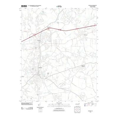
2010 Map of Newton
USGS Topo · Published 2010About this map
The urban corridor of Newton and Conover dominates this landscape, showing a dense network of residential streets and arterial roads during the first decade of the 21st century. The map provides a clear view of the municipal infrastructure supporting these communities, including the Newton-Conover Airport and significant water management features like Oxford Dam and the Newton City Lake Dam. To the east, the settlement of Claremont and the smaller Witherspoon Crossroad mark the transition toward more rural Catawba County terrain.
Find a feature on this map
68 named features on this map. Tap any name to fly to it.
Don’t see what you’re looking for? This feature index may not catch every label — zoom into the map to look around manually.
Map Details
Editions of this 2010 Newton Map
This is the sole edition of this map. No revisions or reprints were ever made.
Other maps of this area

1895 · Hickory
USGS Topo · 1:125,000

1953 · Charlotte
USGS Topo · 1:250,000

1954 · Charlotte
USGS Topo · 1:250,000

1960 · Charlotte
USGS Topo · 1:250,000

1962 · Charlotte
USGS Topo · 1:250,000
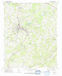
1970 · Maiden
USGS Topo · 1:24,000

1970 · Bethlehem
USGS Topo · 1:24,000

1970 · Newton
USGS Topo · 1:24,000
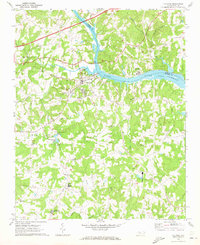
1970 · Catawba
USGS Topo · 1:24,000
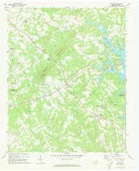
1970 · Denver
USGS Topo · 1:24,000