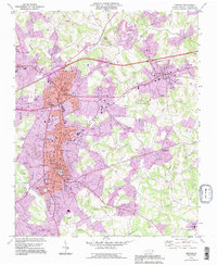
1993 Map of Newton
USGS Topo · Published 1996About this map
Newton and Conover dominate this late-twentieth-century landscape, showing the suburban expansion and industrial footprint of Catawba County. Significant municipal infrastructure is evident, from the Courthouse and Armory in the city center to the numerous sewage disposal sites that mark the outskirts of the growing residential zones. The map illustrates a dense network of local landmarks, including the historic Old St Pauls Ch and numerous other congregations such as St Johns Ch and Bethlehem Ch, which reflect the area's deep-rooted community history. Transport remains central to the region's character, with the Norfolk Southern rail line and major highway interchanges like Interchange 131 facilitating the movement of goods and people between the neighboring towns. The drainage patterns of Lyle Creek and Clark Creek weave through the hilly terrain, providing a natural boundary to the structured urban grid.
Find a feature on this map
56 named features on this map. Tap any name to fly to it.
Don’t see what you’re looking for? This feature index may not catch every label — zoom into the map to look around manually.
Map Details
Editions of this 1993 Newton Map
This is the sole edition of this map. No revisions or reprints were ever made.
Other maps of this area

1895 · Hickory
USGS Topo · 1:125,000

1953 · Charlotte
USGS Topo · 1:250,000

1954 · Charlotte
USGS Topo · 1:250,000

1960 · Charlotte
USGS Topo · 1:250,000

1962 · Charlotte
USGS Topo · 1:250,000
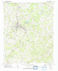
1970 · Maiden
USGS Topo · 1:24,000

1970 · Bethlehem
USGS Topo · 1:24,000

1970 · Newton
USGS Topo · 1:24,000
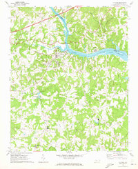
1970 · Catawba
USGS Topo · 1:24,000
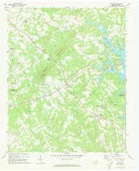
1970 · Denver
USGS Topo · 1:24,000