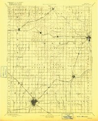
1894 Map of Newton
USGS Topo · Published 1916About this map
Newton serves as the bustling focal point of this late 19th-century landscape, positioned where several rail lines converge in south-central Kansas. Surveyed in 1888, the map illustrates a region rapidly developing around its transportation infrastructure, with the Atchison Topeka and Santa Fe Railroad Main Line and the Chicago Rock Island and Pacific Railroad carving paths through the prairie. Smaller agricultural centers such as Peabody, Hillsboro, and Lehigh are established along these corridors, while the township divisions—including Spring Valley, Liberty, and Walton—show the organized grid of settlement.
Find a feature on this map
72 named features on this map. Tap any name to fly to it.
Don’t see what you’re looking for? This feature index may not catch every label — zoom into the map to look around manually.
Map Details
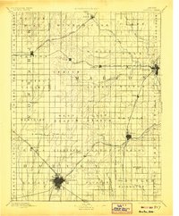
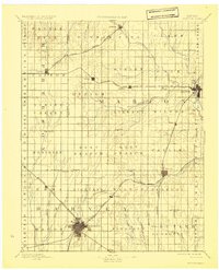
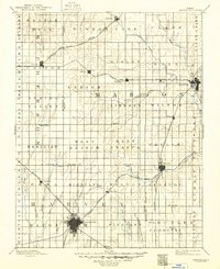
Editions of this 1894 Newton Map
5 editions found

Other maps of this area

1888 · Eldorado
USGS Topo · 1:125,000

1889 · Newton
USGS Topo · 1:125,000

1889 · Abilene
USGS Topo · 1:125,000

1889 · Parkerville
USGS Topo · 1:125,000

1889 · Cheney
USGS Topo · 1:125,000

1889 · Wichita
USGS Topo · 1:125,000

1891 · Hutchinson
USGS Topo · 1:125,000

1891 · Cheney
USGS Topo · 1:125,000

1892 · Salina
USGS Topo · 1:125,000

1893 · Hutchinson
USGS Topo · 1:125,000