
1894 Map of Newton
USGS Topo · Published 1894About this map
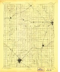
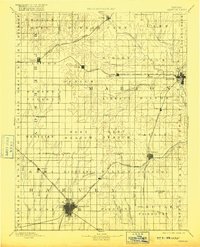
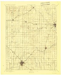
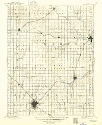
Newton serves as the primary rail hub on this late nineteenth-century prairie landscape, where the Atchison Topeka And Santa Fe Railroad intersects with several branch lines. The map reveals a transition from open terrain to a structured grid of agricultural townships such as Liberty, Highland, and Peabody. Water resources are central to the settlement pattern, with the Cottonwood River and its tributaries like Doyle Creek and Mud Creek providing drainage for the developing farmland.
Find a feature on this map
71 named features on this map. Tap any name to fly to it.
Don’t see what you’re looking for? This feature index may not catch every label — zoom into the map to look around manually.
Map Details
Editions of this 1894 Newton Map
5 editions found
Other maps of this area

1888 · Eldorado
USGS Topo · 1:125,000

1889 · Newton
USGS Topo · 1:125,000

1889 · Abilene
USGS Topo · 1:125,000

1889 · Parkerville
USGS Topo · 1:125,000

1889 · Cheney
USGS Topo · 1:125,000

1889 · Wichita
USGS Topo · 1:125,000

1891 · Hutchinson
USGS Topo · 1:125,000

1891 · Cheney
USGS Topo · 1:125,000

1892 · Salina
USGS Topo · 1:125,000

1893 · Hutchinson
USGS Topo · 1:125,000