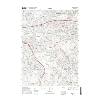
2015 Map of Newton
USGS Topo · Published 2015About this map
Charles River meanders through this densely developed corridor of eastern Massachusetts, linking established industrial and residential centers. The map documents the intricate neighborhood structure of Newton and its villages, including Newton Upper Falls and Newtonville, alongside the prestigious academic landscapes of the Andover Newton Theological Sch and Hebrew Coll. The terrain is defined by a series of prominent drumlins and hills such as Bald Pate Hill and Waban Hill Reservoir, which historically influenced the placement of local reservoirs and institutions.
Find a feature on this map
122 named features on this map. Tap any name to fly to it.
Don’t see what you’re looking for? This feature index may not catch every label — zoom into the map to look around manually.
Map Details
Editions of this 2015 Newton Map
This is the sole edition of this map. No revisions or reprints were ever made.
Other maps of this area

1886 · Dedham
USGS Topo · 1:62,500

1886 · Framingham
USGS Topo · 1:62,500

1887 · Franklin
USGS Topo · 1:62,500

1889 · Franklin
USGS Topo · 1:62,500

1889 · Framingham
USGS Topo · 1:62,500

1893 · Franklin
USGS Topo · 1:62,500

1893 · Boston
USGS Topo · 1:62,500

1894 · Dedham
USGS Topo · 1:62,500

1894 · Framingham
USGS Topo · 1:62,500

1903 · Boston
USGS Topo · 1:62,500