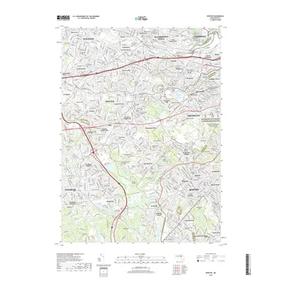
2018 Map of Newton
USGS Topo · Published 2018About this map
The Charles River winds through the heart of this densely developed landscape, defining the boundaries between Waltham, Newton, and Brookline. This era of Greater Boston's expansion is marked by a sophisticated network of academic institutions and preserved public spaces. Notable educational centers like Boston College, Lasell College, and the Andover Newton Theological School occupy significant tracts, while the Frederick Law Olmsted National Historic Site preserves the legacy of American landscape architecture.
Find a feature on this map
139 named features on this map. Tap any name to fly to it.
Don’t see what you’re looking for? This feature index may not catch every label — zoom into the map to look around manually.
Map Details
Editions of this 2018 Newton Map
This is the sole edition of this map. No revisions or reprints were ever made.
Other maps of this area

1886 · Dedham
USGS Topo · 1:62,500

1886 · Framingham
USGS Topo · 1:62,500

1887 · Franklin
USGS Topo · 1:62,500

1889 · Franklin
USGS Topo · 1:62,500

1889 · Framingham
USGS Topo · 1:62,500

1893 · Franklin
USGS Topo · 1:62,500

1893 · Boston
USGS Topo · 1:62,500

1894 · Dedham
USGS Topo · 1:62,500

1894 · Framingham
USGS Topo · 1:62,500

1903 · Boston
USGS Topo · 1:62,500