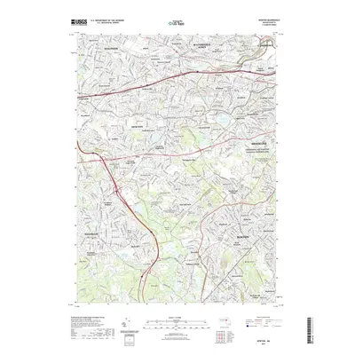
2021 Map of Newton
USGS Topo · Published 2021About this map
The Charles River winds through this urban landscape, defining the boundaries and historical growth patterns of the communities west of Boston. In the early 21st century, the densely settled villages of Newton and Waltham are shown with their intricate street grids, anchored by long-standing landmarks like Echo Bridge and Hemlock Gorge. Educational institutions and historical sites are prominent, including Boston College overlooking the Chestnut Hill Reservoir and the Frederick Law Olmsted National Historic Site in Brookline.
Find a feature on this map
132 named features on this map. Tap any name to fly to it.
Don’t see what you’re looking for? This feature index may not catch every label — zoom into the map to look around manually.
Map Details
Editions of this 2021 Newton Map
This is the sole edition of this map. No revisions or reprints were ever made.
Other maps of this area

1886 · Dedham
USGS Topo · 1:62,500

1886 · Framingham
USGS Topo · 1:62,500

1887 · Franklin
USGS Topo · 1:62,500

1889 · Franklin
USGS Topo · 1:62,500

1889 · Framingham
USGS Topo · 1:62,500

1893 · Franklin
USGS Topo · 1:62,500

1893 · Boston
USGS Topo · 1:62,500

1894 · Dedham
USGS Topo · 1:62,500

1894 · Framingham
USGS Topo · 1:62,500

1903 · Boston
USGS Topo · 1:62,500