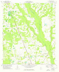
1973 Map of Neyami
USGS Topo · Published 1975About this map
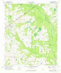
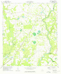
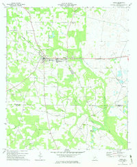
The Central of Georgia railroad creates a sharp diagonal through this Lee County landscape, connecting the small community of Neyami with surrounding agricultural lands. The terrain is defined by the winding course of Muckalee Creek and its tributaries, including Muckaloochee Creek and Boggy Branch, which drain the low-lying areas characterized by numerous small ponds like Eagle Pond. Local history and genealogy interest is concentrated around rural nodes such as Starksville, where a cemetery and the Shady Grove Ch are located near the creek banks.
Find a feature on this map
23 named features on this map. Tap any name to fly to it.
Don’t see what you’re looking for? This feature index may not catch every label — zoom into the map to look around manually.
Map Details
Editions of this 1973 Neyami Map
This is the sole edition of this map. No revisions or reprints were ever made.
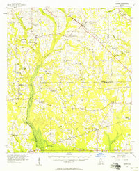
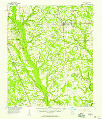
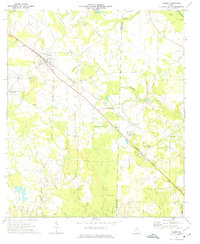
Other maps of this area

1953 · Dothan
USGS Topo · 1:250,000

1954 · Dothan
USGS Topo · 1:250,000

1955 · Dothan
USGS Topo · 1:250,000
1956 · Sasser
USGS Topo · 1:62,500

1956 · Albany
USGS Topo · 1:62,500
1956 · Leslie
USGS Topo · 1:62,500
1973 · Sasser
USGS Topo · 1:24,000
1973 · Bronwood
USGS Topo · 1:24,000
1973 · Albany NE
USGS Topo · 1:24,000
1973 · Leslie
USGS Topo · 1:24,000