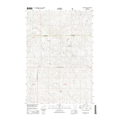
2014 Map of Niagara Creek
USGS Topo · Published 2014About this map
Mt Hebo anchors the northwestern corner of this landscape, marking the high ground where Tillamook and Yamhill counties meet. The area is defined by its complex drainage network, where Niagara Creek and Three Rivers carve through the heavily forested terrain of the Siuslaw National Forest. A web of forest development roads, including Niagara Rd and the high-elevation Mount Hebo Rd, provides access to these timberlands and remote ridges like Burnt Ridge.
Find a feature on this map
40 named features on this map. Tap any name to fly to it.
Don’t see what you’re looking for? This feature index may not catch every label — zoom into the map to look around manually.
Map Details
Editions of this 2014 Niagara Creek Map
This is the sole edition of this map. No revisions or reprints were ever made.
Other maps of this area

1941 · Nestucca Bay
USGS Topo · 1:62,500

1942 · Ginger Peak
USGS Topo · 1:62,500

1942 · Spirit Mtn
USGS Topo · 1:62,500

1942 · Nestucca Bay
USGS Topo · 1:62,500

1942 · Tillamook
USGS Topo · 1:62,500

1948 · Vancouver
USGS Topo · 1:250,000

1950 · Vancouver
USGS Topo · 1:250,000

1950 · Vancouver
USGS Topo · 1:250,000

1955 · Hebo
USGS Topo · 1:62,500

1955 · Blaine
USGS Topo · 1:62,500