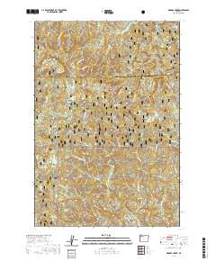
2020 Map of Niagara Creek
USGS Topo · Published 2020About this map
Mt Hebo dominates the northwestern heights of this terrain, marking a prominent landmark near the border of Yamhill and Tillamook counties. The landscape is defined by the complex hydrography of the Siuslaw National Forest, where high ridges like Burnt Ridge separate a dense network of drainages including Niagara Creek, Yoncalla Creek, and the Wind River. A network of forest roads and trails, such as the Pioneer Indian route and SW Agency Creek Road, provides the only access through these steep timberlands. Notable geographic points include the twin waters of North Lake and South Lake, and the curiously named Asinine Bridge spanning Agency Creek. The map documents a rugged interior geography where small cascades like Niagara Falls on Pheasant Creek punctuate the deep, forested valleys of the Oregon Coast Range.
Find a feature on this map
39 named features on this map. Tap any name to fly to it.
Don’t see what you’re looking for? This feature index may not catch every label — zoom into the map to look around manually.
Map Details
Editions of this 2020 Niagara Creek Map
This is the sole edition of this map. No revisions or reprints were ever made.
Other maps of this area

1941 · Nestucca Bay
USGS Topo · 1:62,500

1942 · Ginger Peak
USGS Topo · 1:62,500

1942 · Spirit Mtn
USGS Topo · 1:62,500

1942 · Nestucca Bay
USGS Topo · 1:62,500

1942 · Tillamook
USGS Topo · 1:62,500

1948 · Vancouver
USGS Topo · 1:250,000

1950 · Vancouver
USGS Topo · 1:250,000

1950 · Vancouver
USGS Topo · 1:250,000

1955 · Hebo
USGS Topo · 1:62,500

1955 · Blaine
USGS Topo · 1:62,500