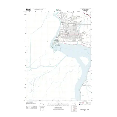
2013 Map of Niagara Falls
USGS Topo · Published 2013About this map
The Niagara River defines this corner of the borderlands, carving its way past the famous falls and through the whirlpool rapids. This 2013 survey provides a clear view of the urban grid and the distinctive geological features that draw millions to the cataract. Beyond the water's edge, the map documents the resting places of the community's past at Oakwood Cem and Saint Josephs Cem.
Find a feature on this map
122 named features on this map. Tap any name to fly to it.
Don’t see what you’re looking for? This feature index may not catch every label — zoom into the map to look around manually.
Map Details
Editions of this 2013 Niagara Falls Map
This is the sole edition of this map. No revisions or reprints were ever made.
Other maps of this area

1894 · Buffalo
USGS Topo · 1:62,500

1894 · Niagara Falls
USGS Topo · 1:62,500

1896 · Niagara Falls
USGS Topo · 1:62,500

1897 · Tonawanda
USGS Topo · 1:62,500

1899 · Niagara
USGS Topo · 1:125,000

1900 · Tonawanda
USGS Topo · 1:62,500

1900 · Niagara Falls
USGS Topo · 1:62,500

1901 · Buffalo
USGS Topo · 1:62,500

1901 · Niagara Falls
USGS Topo · 1:62,500

1901 · Tonawanda
USGS Topo · 1:62,500