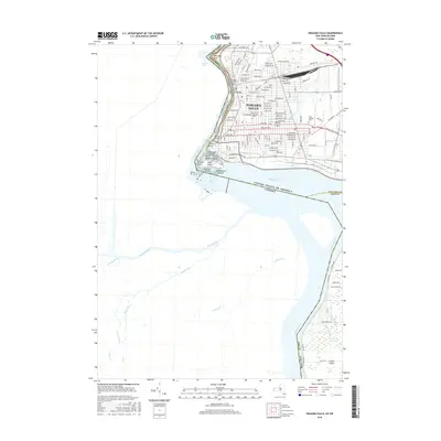
2016 Map of Niagara Falls
USGS Topo · Published 2016About this map
The Niagara River serves as the powerful focal point for this 2016 survey, defining the international boundary between New York and Canada. The map meticulously details the iconic cataract complex, including the American Falls, Bridal Veil Falls, and the massive Horseshoe Falls. This modern topographic study reveals the intricate urban grid of Niagara Falls as it extends toward the river's edge, where historical infrastructure like the Michigan Central Railway Bridge and Whirlpool Rapids Bridge connect the two nations.
Find a feature on this map
137 named features on this map. Tap any name to fly to it.
Don’t see what you’re looking for? This feature index may not catch every label — zoom into the map to look around manually.
Map Details
Editions of this 2016 Niagara Falls Map
This is the sole edition of this map. No revisions or reprints were ever made.
Other maps of this area

1894 · Buffalo
USGS Topo · 1:62,500

1894 · Niagara Falls
USGS Topo · 1:62,500

1896 · Niagara Falls
USGS Topo · 1:62,500

1897 · Tonawanda
USGS Topo · 1:62,500

1899 · Niagara
USGS Topo · 1:125,000

1900 · Tonawanda
USGS Topo · 1:62,500

1900 · Niagara Falls
USGS Topo · 1:62,500

1901 · Buffalo
USGS Topo · 1:62,500

1901 · Niagara Falls
USGS Topo · 1:62,500

1901 · Tonawanda
USGS Topo · 1:62,500