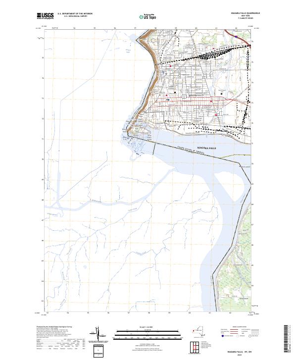
2023 Map of Niagara Falls
USGS Topo · Published 2023About this map
The Niagara River serves as the international boundary and the central focus of this 2023 survey, detailing the world-renowned cataract and its surrounding urban landscape. The complex hydrology is mapped with precision, highlighting the American Falls, Bridal Veil Falls, and Horseshoe Falls as they drop toward the Whirlpool Rapids. On the New York side, the city of Niagara Falls shows a dense street grid punctuated by civic landmarks like the Angelo Delignore Civic Building and long-standing local sites such as Oakwood Cem and Saint Joseph's Cem. The map provides detailed coastal and island topography, from the developed paths of Goat Island and Three Sisters Islands to the northern curve of Whirlpool Point, capturing the intersection of natural power and the established community on the river's edge.
Find a feature on this map
93 named features on this map. Tap any name to fly to it.
Don’t see what you’re looking for? This feature index may not catch every label — zoom into the map to look around manually.
Map Details
Editions of this 2023 Niagara Falls Map
This is the sole edition of this map. No revisions or reprints were ever made.
Other maps of this area

1894 · Buffalo
USGS Topo · 1:62,500

1894 · Niagara Falls
USGS Topo · 1:62,500

1896 · Niagara Falls
USGS Topo · 1:62,500

1897 · Tonawanda
USGS Topo · 1:62,500

1899 · Niagara
USGS Topo · 1:125,000

1900 · Tonawanda
USGS Topo · 1:62,500

1900 · Niagara Falls
USGS Topo · 1:62,500

1901 · Buffalo
USGS Topo · 1:62,500

1901 · Niagara Falls
USGS Topo · 1:62,500

1901 · Tonawanda
USGS Topo · 1:62,500