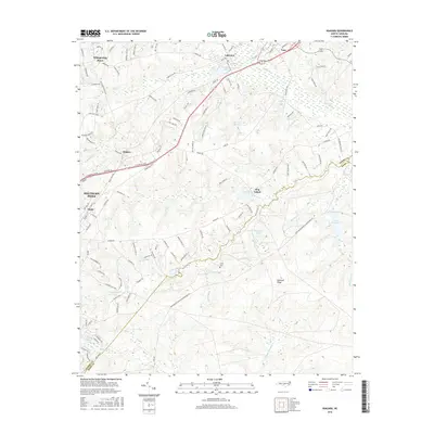
2016 Map of Niagara
USGS Topo · Published 2016About this map
Southern Pines and its surrounding communities are defined by a complex network of reservoirs and creeks feeding into the Little River. In this 2016 survey, the land north of the Moore County and Hoke County line shows a transition from the established settlements of Vass and Lakeview to the newer residential patterns of Whispering Pines. The landscape is dotted with named water bodies such as Griffin Lake, Forrest Lake, and Holland Lake, illustrating the region's long-standing focus on water management and recreation.
Find a feature on this map
120 named features on this map. Tap any name to fly to it.
Don’t see what you’re looking for? This feature index may not catch every label — zoom into the map to look around manually.
Map Details
Editions of this 2016 Niagara Map
This is the sole edition of this map. No revisions or reprints were ever made.
Other maps of this area

1948 · Southern Pines
USGS Topo · 1:62,500

1948 · Clifdale
USGS Topo · 1:62,500

1948 · Pinebluff
USGS Topo · 1:24,000

1948 · Nicholson Creek
USGS Topo · 1:24,000

1948 · Mc Cain
USGS Topo · 1:24,000

1950 · Sanatorium
USGS Topo · 1:24,000

1950 · Lobelia
USGS Topo · 1:24,000

1950 · Pine Bluff
USGS Topo · 1:24,000

1950 · Niagara
USGS Topo · 1:24,000

1950 · Southern Pines
USGS Topo · 1:24,000