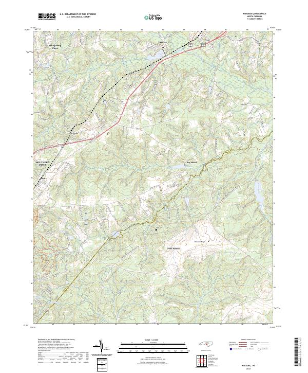
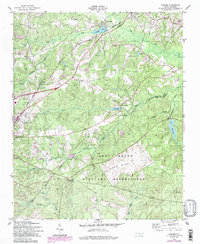
2022 Map of Niagara
USGS Topo · Published 2022This historical map portrays the area of Niagara in 2022, primarily covering Moore County as well as portions of Hoke County. Featuring a scale of 1:24000, this map provides a highly detailed snapshot of the terrain, roads, buildings, counties, and historical landmarks in the Niagara region at the time. Published in 2022, it is the sole known edition of this map.
Map Details
Editions of this 2022 Niagara Map
This is the sole edition of this map. No revisions or reprints were ever made.
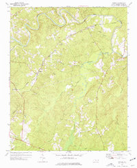
Historical Maps of Niagara Through Time
15 maps found
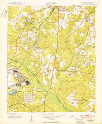
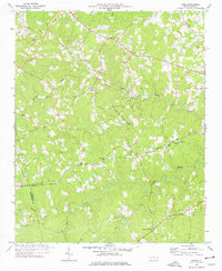
1949 West End
Moore County, NC
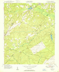
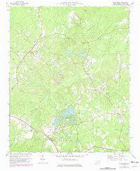
1950 Niagara
Moore County, NC
1950 Pine Bluff
Moore County, NC
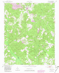
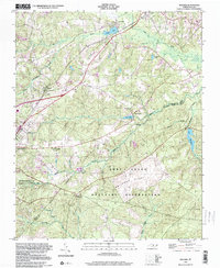
1957 Niagara
Moore County, NC
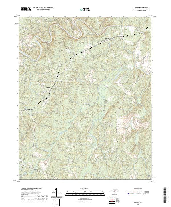
1974 Putnam
Moore County, NC
1976 Niagara
Moore County, NC
1976 West End
Moore County, NC
1977 Spies
Moore County, NC
1977 Zion Grove
Moore County, NC
1998 Niagara
Moore County, NC
2022 Niagara
Moore County, NC
2022 Putnam
Moore County, NC
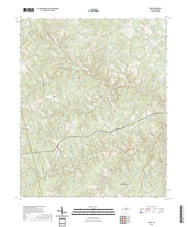
2022 Spies
Moore County, NC
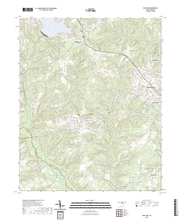
2022 West End
Moore County, NC
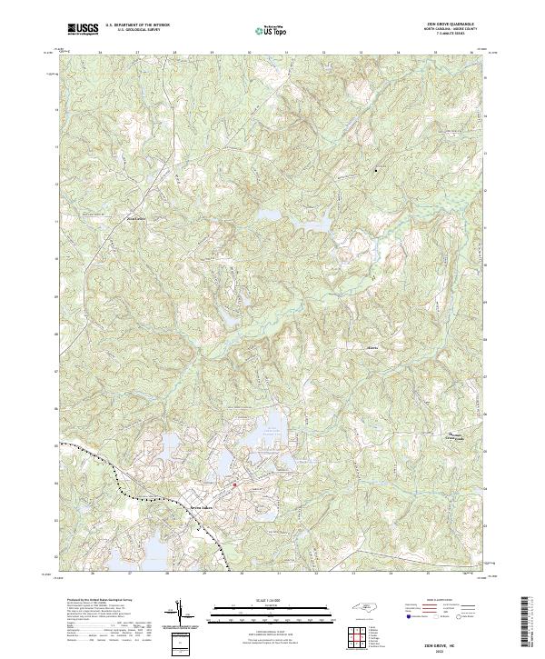
2022 Zion Grove
Moore County, NC