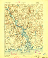
1934 Map of Niantic
USGS Topo · Published 1934About this map
Niantic Bay and the surrounding coastline of East Lyme and Waterford are captured here during a period of transition in the mid-1930s. The shoreline is characterized by a mix of summer colonies and institutional footprints, including the Seaside Connecticut State Sanatorium and the Connecticut State Farm for Women. Transportation is anchored by the New York New Haven and Hartford Railroad, which cuts through the coastal landscape, connecting settlements like Niantic and Crescent Beach. Inland, the terrain rises toward heights such as Mt. Taber and Mullen Hill, while the Niantic River serves as a prominent natural boundary. This survey reflects the era's recreational development, evidenced by Rocky Neck State Park and the cluster of beaches along Two Tree Island Channel. Local centers like Flanders Village and Jordan show the established post office and school networks of the time.
Find a feature on this map
69 named features on this map. Tap any name to fly to it.
Don’t see what you’re looking for? This feature index may not catch every label — zoom into the map to look around manually.
Map Details
Editions of this 1934 Niantic Map
This is the sole edition of this map. No revisions or reprints were ever made.
Other maps of this area

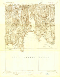
1892 · New London
USGS Topo · 1:62,500

1893 · New London
USGS Topo · 1:62,500
1893 · Saybrook
USGS Topo · 1:62,500

1903 · Gardiners Island
USGS Topo · 1:62,500

1904 · Gardiners Island
USGS Topo · 1:62,500

1921 · Gardiners Island
USGS Topo · 1:62,500

1921 · New London
USGS Topo · 1:62,500

1935 · Montville
USGS Topo · 1:24,000
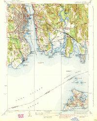
1938 · New London
USGS Topo · 1:31,680
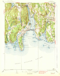
1938 · Niantic
USGS Topo · 1:62,500