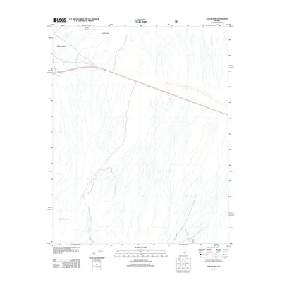
2012 Map of Niavi Wash
USGS Topo · Published 2012About this map
Mercury Valley occupies the northern reaches of this topographic study, where the arid landscape transitions toward the high elevations of the Spring Mountains. The terrain is defined by a series of alluvial fans and drainage patterns that feed into Niavi Wash, illustrating the complex hydrology of the high desert. To the north, the topographic relief increases significantly at South Ridge and the mouth of Timpi Canyon. A primary transportation corridor, Highway 95, cuts diagonally across the northern section of the map, serving as the sole modern artery through this sparsely developed region. This survey captures a moment in the early 21st century when much of the area remained largely undisturbed, preserving the natural landforms of southern Nevada.
Find a feature on this map
6 named features on this map. Tap any name to fly to it.
Don’t see what you’re looking for? This feature index may not catch every label — zoom into the map to look around manually.
Map Details
Editions of this 2012 Niavi Wash Map
This is the sole edition of this map. No revisions or reprints were ever made.
Other maps of this area

1907 · Las Vegas
USGS Topo · 1:250,000

1908 · Furnace Creek
USGS Topo · 1:250,000

1908 · Las Vegas
USGS Topo · 1:250,000

1910 · Furnace Creek
USGS Topo · 1:250,000

1942 · Indian Spring
USGS Topo · 1:125,000

1942 · Skull Mountain
USGS Topo · 1:125,000

1948 · Death Valley
USGS Topo · 1:250,000

1952 · Specter Range
USGS Topo · 1:62,500

1952 · Mercury
USGS Topo · 1:62,500

1954 · Las Vegas
USGS Topo · 1:250,000