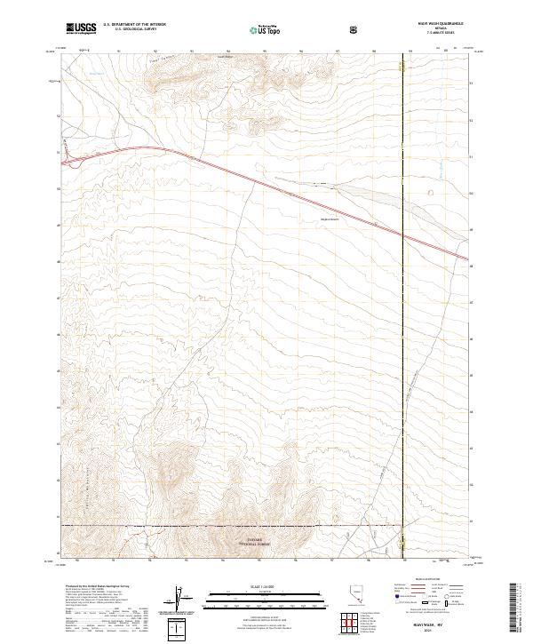
2021 Map of Niavi Wash
USGS Topo · Published 2021About this map
The Mojave Desert floor gives way to the rising slopes of the Spring Mountains in this 2021 survey of the border between Nye and Clark counties. This arid landscape is defined by its massive drainage networks, specifically Timpi Wash and Niavi Wash, which channel seasonal runoff through the basin. Large portions of the terrain are protected within the Desert National Wildlife Range and the Toiyabe National Forest, reflecting a landscape preserved for conservation and federal management.
Find a feature on this map
19 named features on this map. Tap any name to fly to it.
Don’t see what you’re looking for? This feature index may not catch every label — zoom into the map to look around manually.
Map Details
Editions of this 2021 Niavi Wash Map
This is the sole edition of this map. No revisions or reprints were ever made.
Other maps of this area

1907 · Las Vegas
USGS Topo · 1:250,000

1908 · Furnace Creek
USGS Topo · 1:250,000

1908 · Las Vegas
USGS Topo · 1:250,000

1910 · Furnace Creek
USGS Topo · 1:250,000

1942 · Indian Spring
USGS Topo · 1:125,000

1942 · Skull Mountain
USGS Topo · 1:125,000

1948 · Death Valley
USGS Topo · 1:250,000

1952 · Specter Range
USGS Topo · 1:62,500

1952 · Mercury
USGS Topo · 1:62,500

1954 · Las Vegas
USGS Topo · 1:250,000