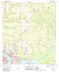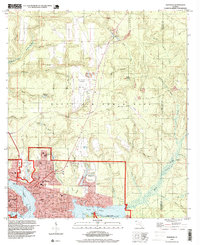
2024 Map of Niceville
USGS Topo · Published 2024About this map
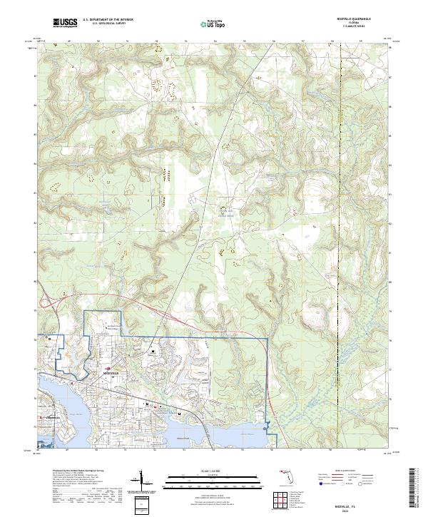
Niceville and Valparaiso dominate the southern portion of this landscape, where the developed residential grids meet the intricate shorelines of Boggy Bayou and Rocky Bayou. The geography is defined by a dense network of watercourses, including Swift Creek and Deer Moss Creek, which drain the expansive grounds of Eglin Air Force Base to the north. These creeks carve through the terrain, creating named depressions like Deep Head and feeding several smaller bodies of water such as Trout Lake and Brandt Pond.
Find a feature on this map
157 named features on this map. Tap any name to fly to it.
Don’t see what you’re looking for? This feature index may not catch every label — zoom into the map to look around manually.
Map Details
Editions of this 2024 Niceville Map
This is the sole edition of this map. No revisions or reprints were ever made.
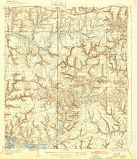
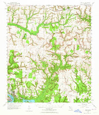
Historical Maps of Okaloosa County Through Time
6 maps found