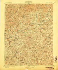
1901 Map of Nicholas
USGS Topo · Published 1906About this map
Gauley River and its major tributaries, the Cherry River and Cranberry River, define the landscape of this Central West Virginia territory at the turn of the century. As industrial timbering and coal interest began to reach into the mountain coves, the W. Va. and P. R. R. established a presence near Lanes Bottom and Camden on Gauley. The map documents a critical era when river crossings were the primary infrastructure, marking numerous points of transit such as Carnifex Ferry, Hughes Ferry, and Persinger Ford. Small communities like Summersville and Richwood serve as anchors among a high-relief terrain featuring prominent landmarks like Powell Mtn. and Beech Mtn.. Genealogists will find many remote settlements and post offices recorded, including Wainville P.O. and Hookersville, providing a glimpse into the distribution of early Nicholas and Fayette County families.
Find a feature on this map
185 named features on this map. Tap any name to fly to it.
Don’t see what you’re looking for? This feature index may not catch every label — zoom into the map to look around manually.
Map Details
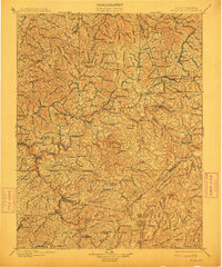
Editions of this 1901 Nicholas Map
3 editions found

Other maps of this area

1887 · Hinton
USGS Topo · 1:125,000

1887 · Lewisburg
USGS Topo · 1:125,000

1889 · Nicholas
USGS Topo · 1:125,000

1891 · Lewisburg
USGS Topo · 1:125,000

1891 · Nicholas
USGS Topo · 1:125,000

1891 · Huntersville
USGS Topo · 1:125,000

1891 · Raleigh
USGS Topo · 1:125,000

1892 · Hinton
USGS Topo · 1:125,000

1893 · Buckhannon
USGS Topo · 1:125,000

1893 · Sutton
USGS Topo · 1:125,000