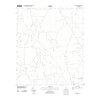
2011 Map of Nicholls NE
USGS Topo · Published 2011About this map
Hurricane Creek winds across this rural Appling County landscape, serving as the primary drainage for a region defined by scattered farmsteads and family cemeteries. The mapping of Simmons Cemetery, Yawn Cemetery, and Taylor Cemetery reveals the generational footprint of local families in the backcountry of South Georgia. To the northeast, the Big Satilla Creek corridor marks the edge of the quadrangle, while the southern reaches feature managed water bodies such as Anderson Lake and Mckinnon Lake. The road network, including Ira Graham Rd and Zoar Rd, connects these isolated points of interest. This survey documents the persistent agricultural character of the area, where small tributaries like Mill Branch and Little Creek feed into the larger river systems that have historically shaped local commerce and land use.
Find a feature on this map
72 named features on this map. Tap any name to fly to it.
Don’t see what you’re looking for? This feature index may not catch every label — zoom into the map to look around manually.
Map Details
Editions of this 2011 Nicholls NE Map
This is the sole edition of this map. No revisions or reprints were ever made.
Other maps of this area

1953 · Waycross
USGS Topo · 1:250,000

1958 · Waycross
USGS Topo · 1:250,000

1970 · Pine Grove
USGS Topo · 1:24,000

1971 · Nicholls NE
USGS Topo · 1:24,000

1971 · Nicholls
USGS Topo · 1:24,000

1971 · Roper
USGS Topo · 1:24,000

1971 · Alma NW
USGS Topo · 1:24,000

1971 · Hazlehurst South
USGS Topo · 1:24,000

1971 · Alma
USGS Topo · 1:24,000

1971 · Sessoms
USGS Topo · 1:24,000