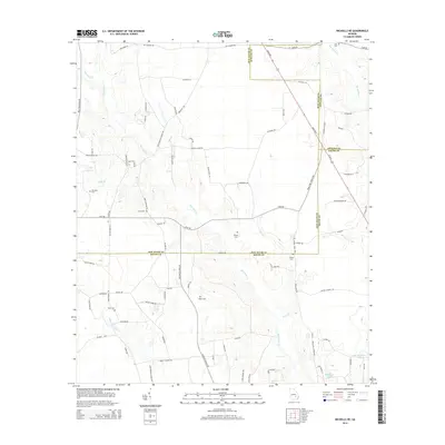
2014 Map of Nicholls NE
USGS Topo · Published 2014About this map
The agrarian landscape of the Georgia coastal plain converges at the junction of Appling, Bacon, and Jeff Davis counties. This territory is defined by the winding course of Hurricane Cr and the waters of Big Satilla Cr to the northeast, while the southern reaches contain Mckinnon Lake and Anderson Lake. The map reveals a high concentration of family and community burial grounds, providing significant data for genealogists tracing roots through Zoar Cem, Yawn Cem, Wilson Cem, and Taylor Cem.
Find a feature on this map
85 named features on this map. Tap any name to fly to it.
Don’t see what you’re looking for? This feature index may not catch every label — zoom into the map to look around manually.
Map Details
Editions of this 2014 Nicholls NE Map
This is the sole edition of this map. No revisions or reprints were ever made.
Other maps of this area

1953 · Waycross
USGS Topo · 1:250,000

1958 · Waycross
USGS Topo · 1:250,000

1970 · Pine Grove
USGS Topo · 1:24,000

1971 · Nicholls NE
USGS Topo · 1:24,000

1971 · Nicholls
USGS Topo · 1:24,000

1971 · Roper
USGS Topo · 1:24,000

1971 · Alma NW
USGS Topo · 1:24,000

1971 · Hazlehurst South
USGS Topo · 1:24,000

1971 · Alma
USGS Topo · 1:24,000

1971 · Sessoms
USGS Topo · 1:24,000