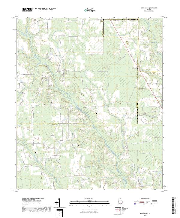
2024 Map of Nicholls NE
USGS Topo · Published 2024About this map
The confluence of Jeff Davis and Appling counties with Bacon County defines this section of Georgia landscape, where the headwaters of Hurricane Creek and Little Hurricane Creek carve through the terrain. The map reveals a rural settlement pattern deeply connected to family heritage, as evidenced by numerous small burial grounds including the Mims Family Cem, Yawn Cem, and Simmons Cem.
Find a feature on this map
91 named features on this map. Tap any name to fly to it.
Don’t see what you’re looking for? This feature index may not catch every label — zoom into the map to look around manually.
Map Details
Editions of this 2024 Nicholls NE Map
This is the sole edition of this map. No revisions or reprints were ever made.
Other maps of this area

1953 · Waycross
USGS Topo · 1:250,000

1958 · Waycross
USGS Topo · 1:250,000

1970 · Pine Grove
USGS Topo · 1:24,000

1971 · Nicholls NE
USGS Topo · 1:24,000

1971 · Nicholls
USGS Topo · 1:24,000

1971 · Roper
USGS Topo · 1:24,000

1971 · Alma NW
USGS Topo · 1:24,000

1971 · Hazlehurst South
USGS Topo · 1:24,000

1971 · Alma
USGS Topo · 1:24,000

1971 · Sessoms
USGS Topo · 1:24,000