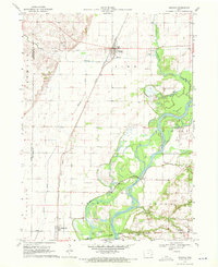
1970 Map of Nichols
USGS Topo · Published 1972About this map
Nichols sits at the junction of two major rail lines in this 1970 snapshot, where the Chicago Rock Island and Pacific and the Chicago Milwaukee St Paul and Pacific railroads crisscross the fertile Iowa bottomlands. The landscape is defined by the sweeping curves of the Cedar River and its intricate network of tributaries, including Wapsinonoc Creek and Honey Creek. These waterways once dictated the placement of small rural communities and local infrastructure like the McKeown Bridge.
Find a feature on this map
31 named features on this map. Tap any name to fly to it.
Don’t see what you’re looking for? This feature index may not catch every label — zoom into the map to look around manually.
Map Details
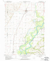
Editions of this 1970 Nichols Map
2 editions found
Other maps of this area

1891 · Wilton Junction
USGS Topo · 1:62,500

1894 · West Liberty
USGS Topo · 1:62,500

1901 · Stanwood
USGS Topo · 1:125,000

1948 · Muscatine
USGS Topo · 1:62,500

1958 · Davenport
USGS Topo · 1:250,000

1961 · Davenport
USGS Topo · 1:250,000

1962 · Davenport
USGS Topo · 1:250,000
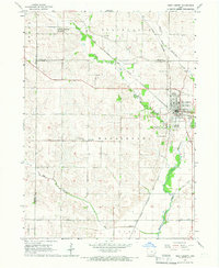
1965 · West Liberty
USGS Topo · 1:24,000

1965 · Letts
USGS Topo · 1:24,000
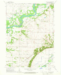
1965 · Muscatine NW
USGS Topo · 1:24,000