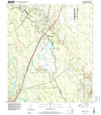
1998 Map of Nicholson
USGS Topo · Published 2000About this map
The Pearl River forms a complex boundary between Mississippi and Louisiana, weaving through a dense network of bayous and wetlands including Broadaxe Bayou and English Bayou. In the northeast, the settlement of Nicholson sits at a crossroads of industry and transport, where the Norfolk Southern railway line runs parallel to extensive Sandpits and gravel operations. Local history is anchored by rural landmarks such as Old Palestine Ch and Corinth Ch, while the southeastern corner is dominated by the high-security perimeter of the John C Stennis Space Center (NASA).
Find a feature on this map
69 named features on this map. Tap any name to fly to it.
Don’t see what you’re looking for? This feature index may not catch every label — zoom into the map to look around manually.
Map Details
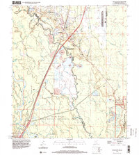
Editions of this 1998 Nicholson Map
2 editions found
Other maps of this area

1914 · Nicholson
USGS Topo · 1:62,500

1921 · Nicholson
USGS Topo · 1:62,500

1935 · Slidell
USGS Topo · 1:62,500

1939 · Slidell
USGS Topo · 1:62,500

1941 · Honey Island
USGS Topo · 1:31,680

1942 · Walkiah Bluff
USGS Topo · 1:31,680

1950 · Haaswood
USGS Topo · 1:31,680

1950 · Slidell
USGS Topo · 1:62,500

1953 · Mobile
USGS Topo · 1:250,000

1954 · Haaswood
USGS Topo · 1:31,680