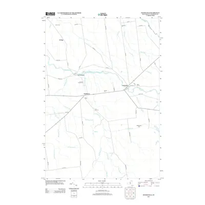
2013 Map of Nicholville
USGS Topo · Published 2013About this map
The Saint Regis River winds through the heart of this North Country landscape, connecting the established communities of Nicholville and Fort Jackson. This 2013 survey illustrates a rural region defined by its agricultural foundations, from Stauffer Farms in the north to Birchland Farm and Norco Farms near Hopkinton. The map provides significant detail for local historians and genealogists, documenting the locations of several burial grounds such as Chesterfield Cem, Mound Hill Cem, and the Ft Jackson Hopkinton Cem. The terrain is characterized by a dense network of watercourses including Big Hollow Brook, Hopkinton Brook, and Dan Wright Brook, which drain the area surrounding landmarks like Independent Hill and Mound Hill. These natural features, alongside the local road network, trace the historical development and continued rural character of this corner of Saint Lawrence County.
Find a feature on this map
58 named features on this map. Tap any name to fly to it.
Don’t see what you’re looking for? This feature index may not catch every label — zoom into the map to look around manually.
Map Details
Editions of this 2013 Nicholville Map
This is the sole edition of this map. No revisions or reprints were ever made.
Other maps of this area

1906 · Massena
USGS Topo · 1:62,500

1907 · Massena
USGS Topo · 1:62,500

1908 · Potsdam
USGS Topo · 1:62,500

1915 · Moira
USGS Topo · 1:62,500

1917 · Moira
USGS Topo · 1:62,500

1919 · Nicholville
USGS Topo · 1:62,500

1921 · Nicholville
USGS Topo · 1:62,500

1942 · Long Bow
USGS Topo · 1:24,000
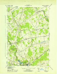
1943 · Parishville
USGS Topo · 1:31,680
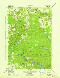
1943 · Long Bow
USGS Topo · 1:31,680