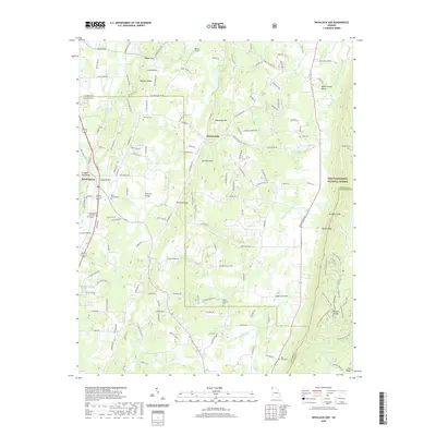
2020 Map of Nickajack Gap
USGS Topo · Published 2020About this map
Peavine Ridge and Taylor Ridge define the vertical geography of this Catoosa County region, channeling local life into narrow corridors like Peavine Valley and Wood Station Valley. The rural character is anchored by a network of family-named landmarks and cemeteries, including the Peavine Cem and Moon - Jones Cem, reflecting generations of settlement along the watershed of Little Chickamauga Cr. In the west, the community of Rock Spring serves as a local hub, home to Northwestern Technical College. The eastern edge of the map rises into the Chattahoochee National Forest, where the terrain culminates at the notable Nickajack Gap. This landscape demonstrates a persistent pattern of ridge-and-valley habitation where modern transit routes still follow the natural gaps and clearings established by early residents.
Find a feature on this map
160 named features on this map. Tap any name to fly to it.
Don’t see what you’re looking for? This feature index may not catch every label — zoom into the map to look around manually.
Map Details
Editions of this 2020 Nickajack Gap Map
This is the sole edition of this map. No revisions or reprints were ever made.
Other maps of this area

1886 · Ringgold
USGS Topo · 1:125,000

1892 · Ringgold
USGS Topo · 1:125,000

1935 · Catlett
USGS Topo · 1:24,000

1935 · East Ridge
USGS Topo · 1:24,000

1935 · Villanow
USGS Topo · 1:24,000

1935 · Ringgold
USGS Topo · 1:24,000

1935 · Nickajack Gap
USGS Topo · 1:24,000

1935 · Tunnel Hill
USGS Topo · 1:24,000

1936 · Kensington
USGS Topo · 1:24,000

1936 · Estelle
USGS Topo · 1:24,000