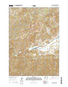
2014 Map of Nickel Mountain
USGS Topo · Published 2014About this map
Nickel Mountain dominates the center of this Douglas County landscape, overlooking the valley where the settlement of Riddle is situated. This region is defined by the winding course of Cow Creek, which flows through the southern half of the quadrangle, and a network of timber and access roads including the Nickel Mine Rd and several Bureau of Land Management routes. The map documents the localized topography and water management systems of the area, featuring Lake Stomar Reservoir and Hiles Reservoir. To the northeast of the town center, the Riddle Cem sits near the junction of Riddle By-Pass Rd and Riddle Cemetery Rd. The terrain transitions from the low-lying Jerry Flat to higher elevations at Mt Isaac and Langell Ridge, illustrating the varied geography that influenced the development of this southern Oregon community.
Find a feature on this map
62 named features on this map. Tap any name to fly to it.
Don’t see what you’re looking for? This feature index may not catch every label — zoom into the map to look around manually.
Map Details
Editions of this 2014 Nickel Mountain Map
This is the sole edition of this map. No revisions or reprints were ever made.
Other maps of this area

1897 · Roseburg
USGS Topo · 1:125,000

1900 · Roseburg
USGS Topo · 1:125,000

1904 · Riddle
USGS Topo · 1:125,000

1928 · Sitkum
USGS Topo · 1:125,000

1946 · Dutchman Butte
USGS Topo · 1:62,500

1948 · Dutchman Butte
USGS Topo · 1:62,500

1954 · Canyonville
USGS Topo · 1:62,500

1955 · Camas Valley
USGS Topo · 1:62,500

1955 · Roseburg
USGS Topo · 1:62,500

1955 · Medford
USGS Topo · 1:250,000